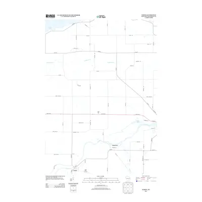
2013 Map of Eureka
USGS Topo · Published 2013About this map
The Fox River meanders through this section of Winnebago County, anchoring the settlement of Eureka and the recreational space of Island Park. In the early 21st century, the landscape reflects a mix of traditional agriculture and specialized land use, evidenced by named properties like Windy Hills Farm and the Happy Jacks Air Strip located just south of the river. The northern reaches are defined by the southern shoreline of Lake Poygan, with numerous local roads like Poygan Rd and Lake Poygan Rd connecting the waterfront to the interior.
Find a feature on this map
53 named features on this map. Tap any name to fly to it.
Don’t see what you’re looking for? This feature index may not catch every label — zoom into the map to look around manually.
Map Details
Editions of this 2013 Eureka Map
This is the sole edition of this map. No revisions or reprints were ever made.
Other maps of this area

1916 · Ripon
USGS Topo · 1:48,000

1918 · Ripon
USGS Topo · 1:62,500

1955 · Green Bay
USGS Topo · 1:250,000

1956 · Ripon
USGS Topo · 1:62,500

1956 · Rosendale
USGS Topo · 1:62,500

1957 · Madison
USGS Topo · 1:250,000

1960 · Madison
USGS Topo · 1:250,000

1961 · Poy Sippi
USGS Topo · 1:62,500

1961 · Oshkosh
USGS Topo · 1:62,500

1961 · Lake Poygan
USGS Topo · 1:24,000