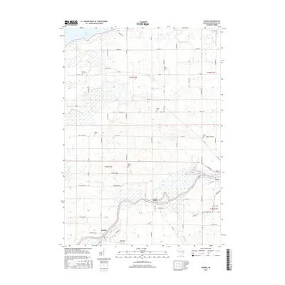
2016 Map of Eureka
USGS Topo · Published 2016About this map
The Fox River snakes through the southern half of this landscape, anchoring the settlements of Eureka and Omro. This riverine environment is defined by expansive wetlands and secondary waterways like Pumpkinseed Cr. and Hogers Bayou, which feed into the northern reach of Lake Poygan. The distribution of burial grounds across the rural townships, including Forest Grove Cem, Burdick Cem, and Goggins Cem, provides a detailed record of 19th and 20th-century family settlement patterns throughout Winnebago County. Land use remains largely agricultural, interspersed with local features like Happy Jacks Air Strip and Edgewater Ridge. The map's grid system highlights the intersection of modern road networks with early property lines, tracing a path from the riverbanks to the higher elevations of Banner Hill RD.
Find a feature on this map
70 named features on this map. Tap any name to fly to it.
Don’t see what you’re looking for? This feature index may not catch every label — zoom into the map to look around manually.
Map Details
Editions of this 2016 Eureka Map
This is the sole edition of this map. No revisions or reprints were ever made.
Other maps of this area

1916 · Ripon
USGS Topo · 1:48,000

1918 · Ripon
USGS Topo · 1:62,500

1955 · Green Bay
USGS Topo · 1:250,000

1956 · Ripon
USGS Topo · 1:62,500

1956 · Rosendale
USGS Topo · 1:62,500

1957 · Madison
USGS Topo · 1:250,000

1960 · Madison
USGS Topo · 1:250,000

1961 · Poy Sippi
USGS Topo · 1:62,500

1961 · Oshkosh
USGS Topo · 1:62,500

1961 · Lake Poygan
USGS Topo · 1:24,000