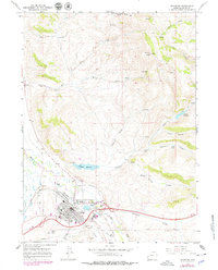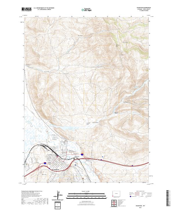
1980 Map of Evanston
USGS Topo · Published 1992About this map
The Union Pacific railroad carves a path through the southwestern corner of Wyoming, connecting high-country settlements across the Bear River Divide. Centered in Uinta Co, this landscape is defined by its transition from the irrigated valleys of Blacks Fork and Smiths Fork to the high elevations of the Wasatch Mountains and the Wasatch National Forest. The map documents the enduring layout of historic military and pioneer sites like Fort Bridger alongside modern ranching hubs such as Lyman and Evanston.
Find a feature on this map
50 named features on this map. Tap any name to fly to it.
Don’t see what you’re looking for? This feature index may not catch every label — zoom into the map to look around manually.
Map Details
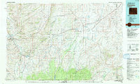
Editions of this 1980 Evanston Map
This is the sole edition of this map. No revisions or reprints were ever made.