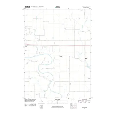
2010 Map of Evanston
USGS Topo · Published 2010About this map
The Des Moines River carves a deep path through Webster County, creating a riparian landscape that contrasts with the surrounding agricultural grid. This 2010 survey highlights the rural community of Evanston, positioned between the river and Brushy Creek. To the northwest, the settlement of Coalville and a dedicated Gypsum site point to the area’s industrial character, while small hamlets like Judd and Border Plains maintain their positions along the county roads. Genealogists will find a wealth of records in the local burial grounds, including the Pleasant Valley Cemetery, Border Plains Cemetery, and Blanchard Cemetery. The map also captures the intricate drainage network of the region, from the winding Prairie Creek to the engineered precision of Lateral Number 1.
Find a feature on this map
45 named features on this map. Tap any name to fly to it.
Don’t see what you’re looking for? This feature index may not catch every label — zoom into the map to look around manually.
Map Details
Editions of this 2010 Evanston Map
This is the sole edition of this map. No revisions or reprints were ever made.
Other maps of this area

1923 · Lehigh
USGS Topo · 1:62,500

1923 · Fort Dodge
USGS Topo · 1:62,500

1954 · Waterloo
USGS Topo · 1:250,000

1954 · Fort Dodge
USGS Topo · 1:250,000

1955 · Waterloo
USGS Topo · 1:250,000

1957 · Fort Dodge
USGS Topo · 1:250,000

1958 · Fort Dodge
USGS Topo · 1:250,000

1965 · Fort Dodge South
USGS Topo · 1:24,000

1965 · Lehigh
USGS Topo · 1:24,000

1965 · Harcourt
USGS Topo · 1:24,000