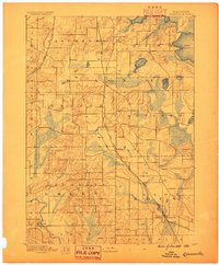
1889 Map of Evansville
USGS Topo · Published 1889About this map
Glacial topography and early rail corridors define this late nineteenth-century survey of the borderlands between Dane, Rock, and Green Counties. The Chicago and Northwestern Railroad bisects the region, connecting the burgeoning settlements of Oregon and Brooklyn, while the Evansville Branch Railroad terminates in the south at the town of Evansville. Smaller rural hubs like Union, Rutland, and the Lake View Post Office indicate a landscape transitioning from pioneer outposts to established farming townships.
Find a feature on this map
32 named features on this map. Tap any name to fly to it.
Don’t see what you’re looking for? This feature index may not catch every label — zoom into the map to look around manually.
Map Details
Editions of this 1889 Evansville Map
This is the sole edition of this map. No revisions or reprints were ever made.
Other maps of this area
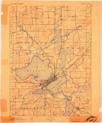
1890 · Madison
USGS Topo · 1:62,500
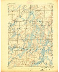
1890 · Sun Prairie
USGS Topo · 1:62,500
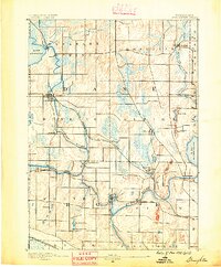
1890 · Stoughton
USGS Topo · 1:62,500
1891 · Janesville
USGS Topo · 1:62,500
1892 · Madison
USGS Topo · 1:62,500
1893 · Janesville
USGS Topo · 1:62,500
1893 · Brodhead
USGS Topo · 1:62,500
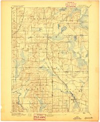
1894 · Evansville
USGS Topo · 1:62,500
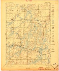
1896 · Sun Prairie
USGS Topo · 1:62,500
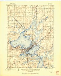
1904 · Madison
USGS Topo · 1:62,500