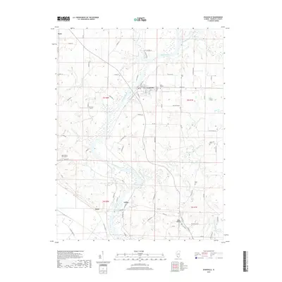
2018 Map of Evansville
USGS Topo · Published 2018About this map
The Kaskaskia River winds diagonally across this Randolph County landscape, serving as the central artery for the river towns of Evansville and Ellis Grove. This 2018 survey documents a region defined by its waterway and high-ground settlements, showing the transition from the river banks to the surrounding uplands. Local history is well-preserved through several established burial grounds, including Saint Peters Cem, Saint Boniface Cem, and the more secluded McCormick Cem.
Find a feature on this map
85 named features on this map. Tap any name to fly to it.
Don’t see what you’re looking for? This feature index may not catch every label — zoom into the map to look around manually.
Map Details
Editions of this 2018 Evansville Map
This is the sole edition of this map. No revisions or reprints were ever made.
Other maps of this area

1907 · Weingarten
USGS Topo · 1:62,500

1909 · Weingarten
USGS Topo · 1:62,500

1912 · Baldwin
USGS Topo · 1:62,500

1914 · Baldwin
USGS Topo · 1:62,500

1915 · Renault
USGS Topo · 1:62,500

1915 · Chester
USGS Topo · 1:62,500

1940 · Renault
USGS Topo · 1:62,500

1942 · Baldwin
USGS Topo · 1:62,500

1947 · Chester
USGS Topo · 1:62,500

1949 · Saint Louis
USGS Topo · 1:250,000