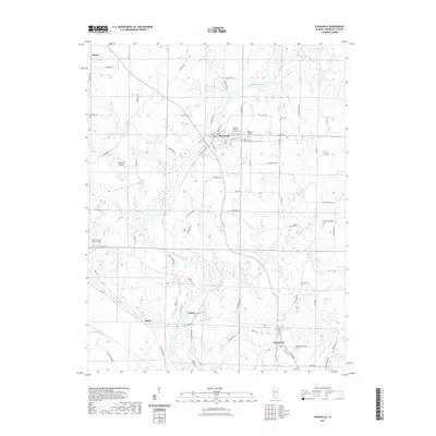
2021 Map of Evansville
USGS Topo · Published 2021About this map
The Kaskaskia River defines the landscape of Randolph County in this 2021 survey, winding through a region marked by agricultural legacy and deep-rooted Catholic heritage. The village of Evansville serves as a primary focal point, situated at a bend in the river where several historical religious sites are clustered, including the Old Saint Boniface Catholic Cem and Saint Peters Cem. These burial grounds, along with others like the Stipe Cem and McCormick Cem, provide significant touchpoints for genealogists tracing family names through the Illinois river valley.
Find a feature on this map
87 named features on this map. Tap any name to fly to it.
Don’t see what you’re looking for? This feature index may not catch every label — zoom into the map to look around manually.
Map Details
Editions of this 2021 Evansville Map
This is the sole edition of this map. No revisions or reprints were ever made.
Other maps of this area

1907 · Weingarten
USGS Topo · 1:62,500

1909 · Weingarten
USGS Topo · 1:62,500

1912 · Baldwin
USGS Topo · 1:62,500

1914 · Baldwin
USGS Topo · 1:62,500

1915 · Renault
USGS Topo · 1:62,500

1915 · Chester
USGS Topo · 1:62,500

1940 · Renault
USGS Topo · 1:62,500

1942 · Baldwin
USGS Topo · 1:62,500

1947 · Chester
USGS Topo · 1:62,500

1949 · Saint Louis
USGS Topo · 1:250,000