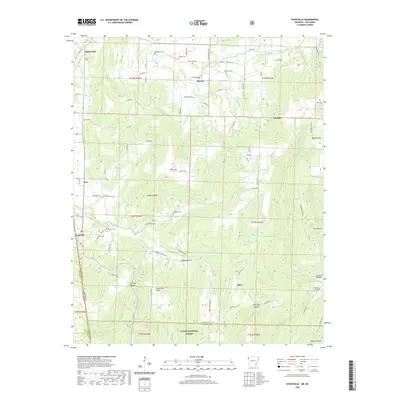
2020 Map of Evansville
USGS Topo · Published 2020About this map
Evansville and its surrounding highlands sit along the Arkansas-Oklahoma border, where the rugged slopes of Anderson Mtn and Skylight Mtn meet the deep incisions of Evansville Cr. This 2020 topographic record shows a landscape defined by small settlements like Dutch Mills, Morrow, and Odell, many of which grew around early pioneer road networks and creek crossings. The southern portion of the map transitions into the Ozark National Forest, marking the boundary between Washington and Crawford counties. Genealogists will find a wealth of data points here, as the terrain is dotted with numerous family and community burial grounds including Bethlehem Cem, Edmiston Cem, and Goddard Cem. The distribution of these cemeteries alongside landmarks like Grapevine Ridge and Hennman Spring provides a clear view of the historical settlement patterns in this corner of the Ozarks.
Find a feature on this map
85 named features on this map. Tap any name to fly to it.
Don’t see what you’re looking for? This feature index may not catch every label — zoom into the map to look around manually.
Map Details
Editions of this 2020 Evansville Map
This is the sole edition of this map. No revisions or reprints were ever made.
Other maps of this area

1898 · Winslow #3
USGS Topo · 1:62,500

1898 · Tahlequah
USGS Topo · 1:125,000

1898 · Winslow
USGS Topo · 1:125,000

1901 · Winslow
USGS Topo · 1:125,000

1901 · Tahlequah
USGS Topo · 1:125,000

1905 · Tahlequah
USGS Topo · 1:125,000

1946 · Fort Smith
USGS Topo · 1:250,000

1965 · Fort Smith
USGS Topo · 1:250,000

1967 · Fort Smith
USGS Topo · 1:250,000

1969 · Natural Dam
USGS Topo · 1:24,000