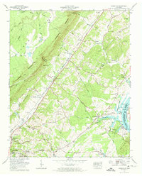
1973 Map of Evensville
USGS Topo · Published 1974About this map
Chickamauga Lake and the Tennessee River define the eastern edge of this Rhea County landscape, where the Southern Railway runs parallel to the towering Cumberland Escarpment. The settlement patterns of the early 1970s reveal a mix of riverside commerce and upland farming, anchored by the community of Evensville and the historic site of Old Washington. Transport across the water is still facilitated by the Washington Ferry, connecting the area to Meigs County.
Find a feature on this map
77 named features on this map. Tap any name to fly to it.
Don’t see what you’re looking for? This feature index may not catch every label — zoom into the map to look around manually.
Map Details
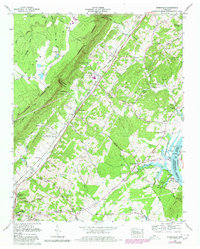
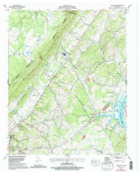
Editions of this 1973 Evensville Map
3 editions found
Other maps of this area

1886 · Cleveland
USGS Topo · 1:125,000

1887 · Kingston
USGS Topo · 1:125,000

1888 · Chattanooga
USGS Topo · 1:125,000

1891 · Kingston
USGS Topo · 1:125,000

1892 · Pikeville
USGS Topo · 1:125,000

1892 · Cleveland
USGS Topo · 1:125,000

1893 · Chattanooga
USGS Topo · 1:125,000

1893 · Kingston
USGS Topo · 1:125,000

1895 · Cleveland
USGS Topo · 1:125,000

1895 · Pikeville
USGS Topo · 1:125,000