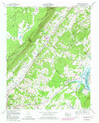
1973 Map of Evensville
USGS Topo · Published 1980About this map
Chickamauga Lake and the Tennessee River define the eastern edge of this Rhea County landscape, where the waters meet a network of small family-named landings and ferries. In the early 1970s, the area around Old Washington and Evensville reflects a rural economy transitioning toward modern development, evidenced by the presence of the Rhea County High School and a drive-in theater near the Dayton city boundary. To the west, the sharp rise of the Cumberland Escarpment creates a dramatic physical barrier, cut by deep drainages like Clear Creek Gulf. The Southern Railway and Foust Highway parallel the base of the ridge, linking these small valley communities. For the local historian, the map preserves the location of numerous small burial grounds, including the Slave Cem and Vaughn Cem, alongside early industry like the Clear Creek Mill and several quarries.
Find a feature on this map
84 named features on this map. Tap any name to fly to it.
Don’t see what you’re looking for? This feature index may not catch every label — zoom into the map to look around manually.
Map Details
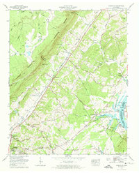
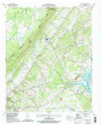
Editions of this 1973 Evensville Map
3 editions found
Other maps of this area

1886 · Cleveland
USGS Topo · 1:125,000

1887 · Kingston
USGS Topo · 1:125,000

1888 · Chattanooga
USGS Topo · 1:125,000

1891 · Kingston
USGS Topo · 1:125,000

1892 · Pikeville
USGS Topo · 1:125,000

1892 · Cleveland
USGS Topo · 1:125,000

1893 · Chattanooga
USGS Topo · 1:125,000

1893 · Kingston
USGS Topo · 1:125,000

1895 · Cleveland
USGS Topo · 1:125,000

1895 · Pikeville
USGS Topo · 1:125,000