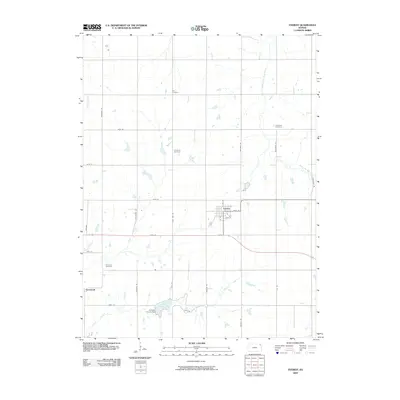
2009 Map of Everest
USGS Topo · Published 2009About this map
Everest serves as the primary hub of this eastern Kansas landscape, situated near the headwaters of the South Fork Wolf River and Otter Creek. The area's agricultural character is defined by a grid of rural routes like Plum Tree Rd and Sunflower Rd, connecting small settlements and numerous burial grounds that provide significant genealogical data. To the southwest, the village of Kennekuk sits near the Kennekuk Cemetery, marking a location of local historical interest. The southern portion of the quadrangle is anchored by the Atchison County Dam and Clear Creek Lake, showing the management of Clear Creek in this part of the county. These water features, alongside Hazel Creek in the northwest, illustrate the drainage patterns essential to the region's farming heritage.
Find a feature on this map
35 named features on this map. Tap any name to fly to it.
Don’t see what you’re looking for? This feature index may not catch every label — zoom into the map to look around manually.
Map Details
Editions of this 2009 Everest Map
This is the sole edition of this map. No revisions or reprints were ever made.
Other maps of this area

1885 · Atchison
USGS Topo · 1:125,000

1888 · Atchison
USGS Topo · 1:125,000

1888 · Hiawatha
USGS Topo · 1:125,000

1893 · Atchison
USGS Topo · 1:125,000

1894 · Hiawatha
USGS Topo · 1:125,000

1950 · Kansas City
USGS Topo · 1:250,000

1954 · Kansas City
USGS Topo · 1:250,000

1956 · Kansas City
USGS Topo · 1:250,000
1959 · Highland
USGS Topo · 1:24,000

1960 · Kansas City
USGS Topo · 1:250,000