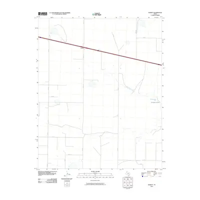
2010 Map of Everett
USGS Topo · Published 2010About this map
The settlement of Everett sits in the northwest Texas panhandle, centered along the intersection of Everett Rd and a primary east-west highway. This 2010 survey of Oldham County illustrates a landscape defined by an organized grid of county roads, including Binford Rd and Co Rd 40, which facilitate movement across the agricultural terrain. To the southeast, the geography is marked by the winding path of North Palo Duro Creek, which feeds into Montgomery Lake. The presence of the Montgomery Lake Dam indicates local water management and land use tailored to the arid environment of this High Plains region, where natural drainage and artificial impoundments are central to the rural economy and landscape structure.
Find a feature on this map
16 named features on this map. Tap any name to fly to it.
Don’t see what you’re looking for? This feature index may not catch every label — zoom into the map to look around manually.
Map Details
Editions of this 2010 Everett Map
This is the sole edition of this map. No revisions or reprints were ever made.
Other maps of this area

1934 · Ady
USGS Topo · 1:62,500

1936 · Ady
USGS Topo · 1:62,500

1954 · Tucumcari
USGS Topo · 1:250,000

1958 · Tucumcari
USGS Topo · 1:250,000

1962 · Wildorado
USGS Topo · 1:62,500

1965 · Everett
USGS Topo · 1:24,000

1965 · Allison Ranch
USGS Topo · 1:24,000

1966 · Jay Taylor Ranch
USGS Topo · 1:24,000

1966 · Rotten Hill
USGS Topo · 1:24,000

1966 · Vega South
USGS Topo · 1:24,000