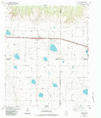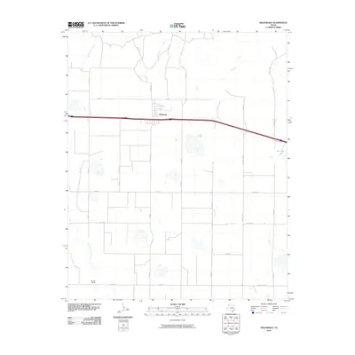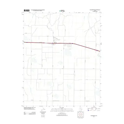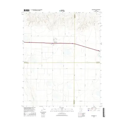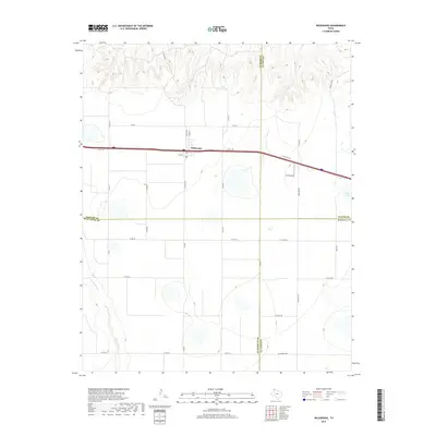
1962 Map of Wildorado
USGS Topo · Published 1964About this map
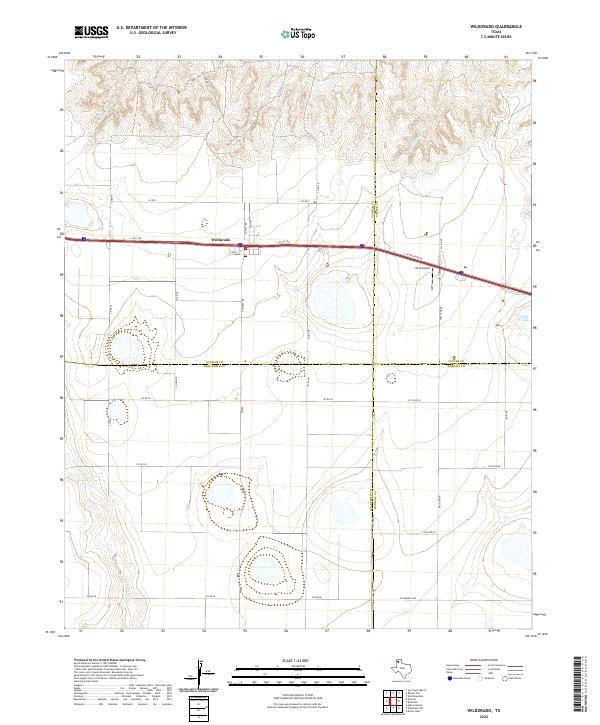
The Chicago Rock Island and Pacific railroad corridor anchors the northern horizon of this High Plains landscape, connecting the small communities of Wildorado and Bushland. This region, where four Texas counties meet, is characterized by its dramatic transition from level tabletop plains into the intricate drainage networks of North Palo Duro Creek and the Negro Arroyo. The presence of an Aqueduct and numerous pipelines cutting across the terrain highlights the critical importance of water management in this agricultural and ranching environment. Local life is centered around rural institutions such as the Highland Sch and Palo Duro Ch, while the vastness of the land is measured by established family outposts like Bynum Ranch. The map also captures several distinct water features, including Ida Lake and Bivins Lake, which provide notable breaks in the topographic relief of the Panhandle.
Find a feature on this map
23 named features on this map. Tap any name to fly to it.
Don’t see what you’re looking for? This feature index may not catch every label — zoom into the map to look around manually.
Map Details
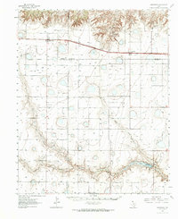
Editions of this 1962 Wildorado Map
This is the sole edition of this map. No revisions or reprints were ever made.
Historical Maps of Wildorado Through Time
7 maps found