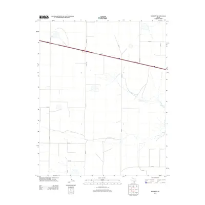
2012 Map of Everett
USGS Topo · Published 2012About this map
Everett serves as a small transit point along the high plains of the Texas Panhandle, defined by the path of Interstate 40 as it cuts across the landscape. The geography is marked by the branching drainage of N Palo Duro Cr, which meanders eastward toward Montgomery Lake. This 2012 survey illustrates a classic Western grid of rural infrastructure, where routes such as Everett Rd and Binford Rd connect isolated ranching properties to the main artery of the I 40 Service Rd. The map documents a sparsely populated but highly structured agricultural environment, preserving the names of local thoroughfares like Co Road G and Co Road F that define the land divisions in this part of Oldham County.
Find a feature on this map
18 named features on this map. Tap any name to fly to it.
Don’t see what you’re looking for? This feature index may not catch every label — zoom into the map to look around manually.
Map Details
Editions of this 2012 Everett Map
This is the sole edition of this map. No revisions or reprints were ever made.
Other maps of this area

1934 · Ady
USGS Topo · 1:62,500

1936 · Ady
USGS Topo · 1:62,500

1954 · Tucumcari
USGS Topo · 1:250,000

1958 · Tucumcari
USGS Topo · 1:250,000

1962 · Wildorado
USGS Topo · 1:62,500

1965 · Everett
USGS Topo · 1:24,000

1965 · Allison Ranch
USGS Topo · 1:24,000

1966 · Jay Taylor Ranch
USGS Topo · 1:24,000

1966 · Rotten Hill
USGS Topo · 1:24,000

1966 · Vega South
USGS Topo · 1:24,000