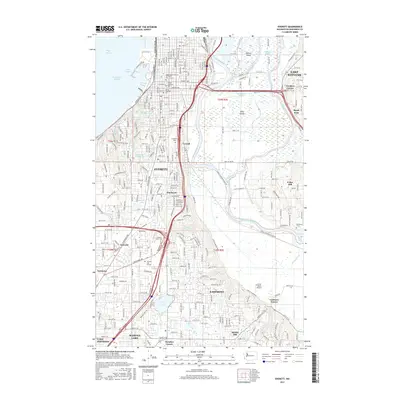
2017 Map of Everett
USGS Topo · Published 2017About this map
Evergreen Cem and Cypress Lawn Cem stand near the busy Interstate 5 corridor, marking the deep-rooted community history in the heart of Everett. The landscape is defined by the complex hydrology of the Snohomish River delta, where numerous sloughs such as Steamboat Slough, Union Slough, and Ebey Slough weave around Ebey Island. This intricate network of waterways reflects the historical reliance on river-and-rail transport, with the BNSF Railway following the river's path. To the south and east, residential expansion is evident in settlements like Eastmont, Martha Lake, and Seattle Hill. The presence of several educational institutions, including Trinity Lutheran Coll and Henry Cogswell Coll, highlights the city's role as a regional center of learning and industry during the early 21st century.
Find a feature on this map
64 named features on this map. Tap any name to fly to it.
Don’t see what you’re looking for? This feature index may not catch every label — zoom into the map to look around manually.
Map Details
Editions of this 2017 Everett Map
This is the sole edition of this map. No revisions or reprints were ever made.
Other maps of this area

1895 · Snohomish
USGS Topo · 1:125,000

1897 · Seattle
USGS Topo · 1:125,000

1911 · Mount Vernon
USGS Topo · 1:125,000

1941 · Marysville
USGS Topo · 1:62,500

1942 · Edmonds
USGS Topo · 1:62,500

1943 · Marysville
USGS Topo · 1:62,500

1943 · Stanwood
USGS Topo · 1:62,500

1944 · Everett
USGS Topo · 1:62,500
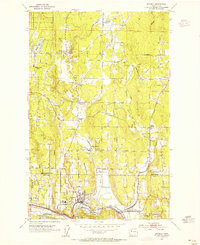
1953 · Bothell
USGS Topo · 1:24,000
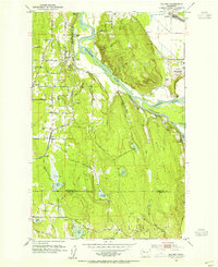
1953 · Maltby
USGS Topo · 1:24,000