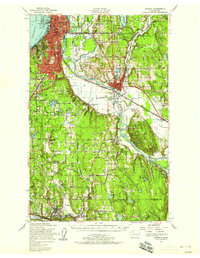
1953 Map of Everett
USGS Topo · Published 1958About this map
The industrial and maritime core of Everett dominates the waterfront on Port Gardner, where the Great Northern Railway tracks follow the shoreline toward Lowell and beyond. This mid-century survey documents the complex hydrology of the Snohomish River delta, revealing a network of waterways including Ebey Slough, Union Slough, and Steamboat Slough. To the south, the landscape transitions into the developing communities of Bothell, Woodinville, and Maltby, with local landmarks like the Wellington Hills Golf Course and Cypress Lawn Cem providing neighborhood anchors.
Find a feature on this map
109 named features on this map. Tap any name to fly to it.
Don’t see what you’re looking for? This feature index may not catch every label — zoom into the map to look around manually.
Map Details
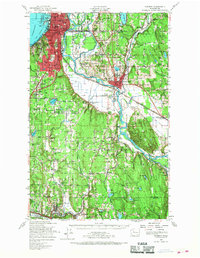
Editions of this 1953 Everett Map
2 editions found
Other maps of this area

1894 · Seattle
USGS Topo · 1:62,500

1895 · Snohomish
USGS Topo · 1:125,000

1897 · Seattle
USGS Topo · 1:125,000

1899 · Stillaguamish
USGS Topo · 1:125,000

1901 · Stilaguamish
USGS Topo · 1:125,000

1908 · Seattle
USGS Topo · 1:62,500

1909 · Seattle Special
USGS Topo · 1:62,500

1911 · Mount Vernon
USGS Topo · 1:125,000

1921 · Sultan
USGS Topo · 1:125,000

1923 · Sultan
USGS Topo · 1:125,000