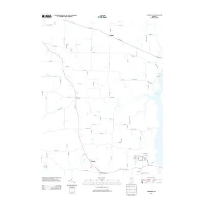
2013 Map of Everton
USGS Topo · Published 2013About this map
Everton and the surrounding rural crossroads of Fayette and Franklin counties are defined by a network of creeks and modern reservoir shorelines in this 2013 survey. The landscape is deeply carved by water, with Duck Cr and Ellys Cr draining the agricultural uplands toward the eastern reaches of the map. The influence of the Whitewater River valley is evident in the presence of Brookville Lake, which occupies the eastern edge near the small settlement of Quakertown.
Find a feature on this map
92 named features on this map. Tap any name to fly to it.
Don’t see what you’re looking for? This feature index may not catch every label — zoom into the map to look around manually.
Map Details
Editions of this 2013 Everton Map
This is the sole edition of this map. No revisions or reprints were ever made.
Other maps of this area

1915 · College Corner
USGS Topo · 1:48,000

1915 · Harrison
USGS Topo · 1:48,000

1918 · College Corner
USGS Topo · 1:62,500

1948 · Fairfield
USGS Topo · 1:24,000

1953 · Cincinnati
USGS Topo · 1:250,000

1955 · Mount Carmel
USGS Topo · 1:24,000

1956 · Everton
USGS Topo · 1:24,000

1956 · Alpine
USGS Topo · 1:24,000

1956 · Brownsville
USGS Topo · 1:24,000

1956 · Metamora
USGS Topo · 1:24,000