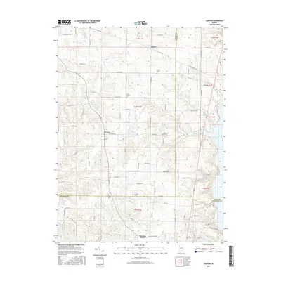
2016 Map of Everton
USGS Topo · Published 2016About this map
Everton and Blooming Grove serve as the primary anchors for this rural landscape where Fayette, Union, and Franklin counties meet. The eastern edge of the quadrangle is defined by the significant waters of Brookville Lake, which occupies the valley of the East Fork Whitewater River. This 2016 survey illustrates the persistent agricultural grid and scattered small settlements that have characterized this portion of eastern Indiana for generations.
Find a feature on this map
91 named features on this map. Tap any name to fly to it.
Don’t see what you’re looking for? This feature index may not catch every label — zoom into the map to look around manually.
Map Details
Editions of this 2016 Everton Map
This is the sole edition of this map. No revisions or reprints were ever made.
Other maps of this area

1915 · College Corner
USGS Topo · 1:48,000

1915 · Harrison
USGS Topo · 1:48,000

1918 · College Corner
USGS Topo · 1:62,500

1948 · Fairfield
USGS Topo · 1:24,000

1953 · Cincinnati
USGS Topo · 1:250,000

1955 · Mount Carmel
USGS Topo · 1:24,000

1956 · Everton
USGS Topo · 1:24,000

1956 · Alpine
USGS Topo · 1:24,000

1956 · Brownsville
USGS Topo · 1:24,000

1956 · Metamora
USGS Topo · 1:24,000