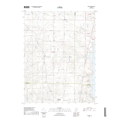
2019 Map of Everton
USGS Topo · Published 2019About this map
Everton and the crossroads of Alquina anchor this rural landscape where the boundaries of Fayette, Union, and Franklin Counties converge. The terrain is defined by a dense network of drainage, including Village Cr, Duck Cr, and Ellus Cr, which flow toward the eastern reaches of Brookville Lake. This area of Indiana reflects a deep-rooted agricultural history, visible through the numerous small burial grounds that dot the townships, such as Poplar Ridge Cem and Mount Garrison Cem.
Find a feature on this map
97 named features on this map. Tap any name to fly to it.
Don’t see what you’re looking for? This feature index may not catch every label — zoom into the map to look around manually.
Map Details
Editions of this 2019 Everton Map
This is the sole edition of this map. No revisions or reprints were ever made.
Other maps of this area

1915 · College Corner
USGS Topo · 1:48,000

1915 · Harrison
USGS Topo · 1:48,000

1918 · College Corner
USGS Topo · 1:62,500

1948 · Fairfield
USGS Topo · 1:24,000

1953 · Cincinnati
USGS Topo · 1:250,000

1955 · Mount Carmel
USGS Topo · 1:24,000

1956 · Everton
USGS Topo · 1:24,000

1956 · Alpine
USGS Topo · 1:24,000

1956 · Brownsville
USGS Topo · 1:24,000

1956 · Metamora
USGS Topo · 1:24,000