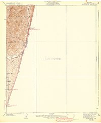
1940 Map of Evey Canyon
USGS Topo · Published 1940About this map
San Gabriel Mts dominate the western portion of this 1940 edition, where the high terrain of the Angeles National Forest meets the developing valley floor. The map records a critical interface of water management and infrastructure, with a Transmission Line cutting through the foothills above the winding San Antonio Creek. In the lower elevations, the grid of the northern edge of Claremont begins to take shape, marked by thoroughfares such as Padua Ave and San Antonio Ave. This survey captures the area just as suburban expansion was pushing toward the mountain base, while higher up, the Lower San Antonio Guard Station and Firebreak lines signify active forest management. Local history details include the Norton Sch and the route of Camp Baldy Road as it follows the canyon floor toward the heights.
Find a feature on this map
15 named features on this map. Tap any name to fly to it.
Don’t see what you’re looking for? This feature index may not catch every label — zoom into the map to look around manually.
Map Details
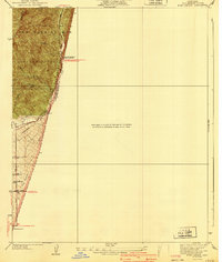
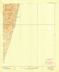
Editions of this 1940 Evey Canyon Map
3 editions found
Other maps of this area

1897 · Cucamonga
USGS Topo · 1:62,500

1900 · Cucamonga
USGS Topo · 1:62,500

1901 · Southern California Sheet No. 1
USGS Topo · 1:250,000

1903 · Cucamonga
USGS Topo · 1:62,500

1904 · Southern California Sheet No. 1
USGS Topo · 1:250,000
1928 · La Verne
USGS Topo · 1:24,000
1928 · Claremont
USGS Topo · 1:24,000
1933 · Ontario
USGS Topo · 1:31,680
1933 · La Verne and Evey Canyon
USGS Topo · 1:24,000
1934 · Camp Baldy
USGS Topo · 1:24,000