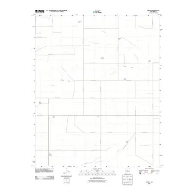
2010 Map of Ewing
USGS Topo · Published 2010About this map
Ewing and a series of family-named ranching operations define this high-plains landscape in Torrance County during the early 21st century. The map illustrates a region where water management and seasonal drainages are central to the settlement pattern, as seen in the prominent Torreon Draw and Arroyo de Tajique that cross the plains. This era shows a transition from traditional land use to a more organized grid of county roads, connecting legacy holdings like the Dressler Ranch and Elliott Ranch.
Find a feature on this map
38 named features on this map. Tap any name to fly to it.
Don’t see what you’re looking for? This feature index may not catch every label — zoom into the map to look around manually.
Map Details
Editions of this 2010 Ewing Map
This is the sole edition of this map. No revisions or reprints were ever made.
Other maps of this area

1917 · Estancia
USGS Topo · 1:125,000

1954 · Torreon
USGS Topo · 1:24,000

1954 · Tajique
USGS Topo · 1:24,000

1954 · Milbourn Ranch
USGS Topo · 1:24,000

1954 · Torreon
USGS Topo · 1:62,500

1954 · Socorro
USGS Topo · 1:250,000

1956 · Estancia
USGS Topo · 1:62,500

1956 · Mountainair
USGS Topo · 1:62,500

1958 · Socorro
USGS Topo · 1:250,000

1962 · Socorro
USGS Topo · 1:250,000