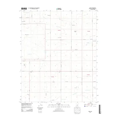
2013 Map of Ewing
USGS Topo · Published 2013About this map
The settlement of Ewing and a series of family-named livestock operations define this high-desert ranching landscape in central New Mexico. Situated in the Estancia Valley region, the area is characterized by a network of drainage channels including Arroyo de Tajique and Arroyo de Manzano, which trend toward the Torreon Draw. The map documents a sparse but established rural infrastructure where water sources like Reynolds Windmill are as vital as the roads that connect them. Land ownership and genealogy are marked by prominent holdings such as Dressler Ranch, O L Markel Ranch, and Elliott Ranch. Cultural landmarks are few, highlighted primarily by Mt Calvary Cem located along NM-542. The grid of county roads, including Riley Rd and S Bluegrass Rd, provides a framework for the vast grazing lands that dominate this portion of Torrance County.
Find a feature on this map
46 named features on this map. Tap any name to fly to it.
Don’t see what you’re looking for? This feature index may not catch every label — zoom into the map to look around manually.
Map Details
Editions of this 2013 Ewing Map
This is the sole edition of this map. No revisions or reprints were ever made.
Other maps of this area

1917 · Estancia
USGS Topo · 1:125,000

1954 · Torreon
USGS Topo · 1:24,000

1954 · Tajique
USGS Topo · 1:24,000

1954 · Milbourn Ranch
USGS Topo · 1:24,000

1954 · Torreon
USGS Topo · 1:62,500

1954 · Socorro
USGS Topo · 1:250,000

1956 · Estancia
USGS Topo · 1:62,500

1956 · Mountainair
USGS Topo · 1:62,500

1958 · Socorro
USGS Topo · 1:250,000

1962 · Socorro
USGS Topo · 1:250,000