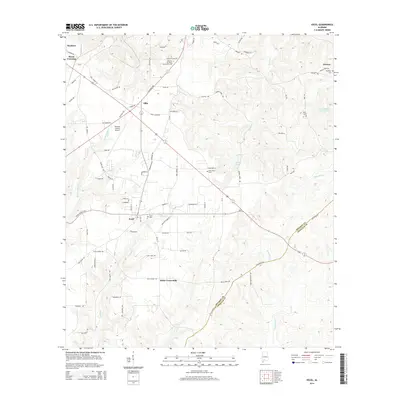
2014 Map of Excel
USGS Topo · Published 2014About this map
Excel serves as the primary hub in this portion of Monroe County, situated where the Excel Frisco Hwy meets local connectors. The town's layout is well-defined by a grid of residential streets like Shelly St and Sycamore Cir, with the Excel Cem positioned on its eastern edge. Northward, the Alabama Southern Community Coll and the Monroe County Airport indicate the area's role as an educational and logistical center for the surrounding rural communities.
Find a feature on this map
81 named features on this map. Tap any name to fly to it.
Don’t see what you’re looking for? This feature index may not catch every label — zoom into the map to look around manually.
Map Details
Editions of this 2014 Excel Map
This is the sole edition of this map. No revisions or reprints were ever made.
Other maps of this area

1953 · Andalusia
USGS Topo · 1:250,000

1957 · Andalusia
USGS Topo · 1:250,000

1971 · Range
USGS Topo · 1:24,000

1971 · Burnt Corn
USGS Topo · 1:24,000

1971 · Repton
USGS Topo · 1:24,000

1972 · Monroeville
USGS Topo · 1:24,000

1972 · Frisco City
USGS Topo · 1:24,000

1972 · Frisco City SE
USGS Topo · 1:24,000

1972 · Uriah East
USGS Topo · 1:24,000

1972 · Excel
USGS Topo · 1:24,000