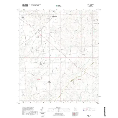
2018 Map of Excel
USGS Topo · Published 2018About this map
Monroeville sits at the northern edge of this Monroe County landscape, where the educational facilities of Alabama Southern Community College and the aviation activity of the Monroe County Aeroplex meet the rural crossroads of southern Alabama. The topography is defined by the branching tributaries of Big Escambia Cr and Brushy Cr, creating a series of ridges and hollows that historically dictated settlement patterns. Small communities like Excel, Ollie, and Mexia Crossing are connected by a network of local routes such as Excel Frisco Hwy and Sawyer Rd. Genealogists will find several burial sites preserved across the terrain, including Excel Cem and New Home Cem, while industrial and utility sites like the local landfill and industrial park indicate the modern expansion around the Monroeville outskirts.
Find a feature on this map
95 named features on this map. Tap any name to fly to it.
Don’t see what you’re looking for? This feature index may not catch every label — zoom into the map to look around manually.
Map Details
Editions of this 2018 Excel Map
This is the sole edition of this map. No revisions or reprints were ever made.
Other maps of this area

1953 · Andalusia
USGS Topo · 1:250,000

1957 · Andalusia
USGS Topo · 1:250,000

1971 · Range
USGS Topo · 1:24,000

1971 · Burnt Corn
USGS Topo · 1:24,000

1971 · Repton
USGS Topo · 1:24,000

1972 · Monroeville
USGS Topo · 1:24,000

1972 · Frisco City
USGS Topo · 1:24,000

1972 · Frisco City SE
USGS Topo · 1:24,000

1972 · Uriah East
USGS Topo · 1:24,000

1972 · Excel
USGS Topo · 1:24,000