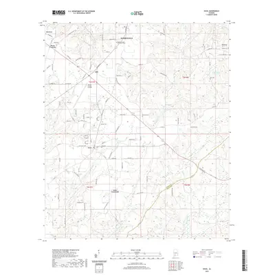
2020 Map of Excel
USGS Topo · Published 2020About this map
Monroeville serves as the northern anchor of this landscape, situated just above the community of Ollie and the regional Monroe County Aeroplex. The terrain is defined by a dense network of local roads and the winding paths of Big Escambia Cr and Brushy Cr, which drain the undulating countryside. In the south, the town of Excel is a central hub for the surrounding rural area, which includes the settlement of Halls Crossroads. Educational and local history markers are prominent, from the Alabama Southern Community College to several established family and community burial grounds such as Excel Cem and New Home Cem. The eastern portion of the sheet transitions into Conecuh County, where Tuscumbia Cr and Escambia Cr flow through the more wooded reaches near Drewry. This map illustrates the modern integration of rural Alabama life with regional transportation and education infrastructure.
Find a feature on this map
94 named features on this map. Tap any name to fly to it.
Don’t see what you’re looking for? This feature index may not catch every label — zoom into the map to look around manually.
Map Details
Editions of this 2020 Excel Map
This is the sole edition of this map. No revisions or reprints were ever made.
Other maps of this area

1953 · Andalusia
USGS Topo · 1:250,000

1957 · Andalusia
USGS Topo · 1:250,000

1971 · Range
USGS Topo · 1:24,000

1971 · Burnt Corn
USGS Topo · 1:24,000

1971 · Repton
USGS Topo · 1:24,000

1972 · Monroeville
USGS Topo · 1:24,000

1972 · Frisco City
USGS Topo · 1:24,000

1972 · Frisco City SE
USGS Topo · 1:24,000

1972 · Uriah East
USGS Topo · 1:24,000

1972 · Excel
USGS Topo · 1:24,000