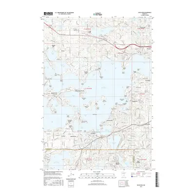
2016 Map of Excelsior
USGS Topo · Published 2016About this map
The complex shoreline of Lake Minnetonka dominates this 2016 survey, weaving through a landscape of established lakeside communities and interconnected bays. The map documents the intricate geography of points and islands that define the region, including Big Island, Mahpiyata Island, and Spirit Island. From the municipal centers of Wayzata and Excelsior, residential expansion is evident along primary corridors like Wayzata Blvd and Shoreline Dr. Numerous local heritage sites are preserved throughout the terrain, including the Maxwell Family Cem and Oak Hill Cem. The area's transition from early resort destination to a sophisticated suburban enclave is reflected in the dense network of local roads and prominent landmarks such as the Arcola Bridge and the Minnesota Sch of Business.
Find a feature on this map
155 named features on this map. Tap any name to fly to it.
Don’t see what you’re looking for? This feature index may not catch every label — zoom into the map to look around manually.
Map Details
Editions of this 2016 Excelsior Map
This is the sole edition of this map. No revisions or reprints were ever made.
Other maps of this area

1896 · Minneapolis
USGS Topo · 1:62,500

1901 · Minneapolis
USGS Topo · 1:62,500

1902 · Anoka
USGS Topo · 1:62,500

1905 · Minnetonka
USGS Topo · 1:62,500

1907 · Minnetonka
USGS Topo · 1:62,500

1909 · Rockford
USGS Topo · 1:62,500

1953 · Saint Paul
USGS Topo · 1:250,000

1953 · Stillwater
USGS Topo · 1:250,000

1954 · Hopkins
USGS Topo · 1:24,000

1954 · Eden Prairie
USGS Topo · 1:24,000