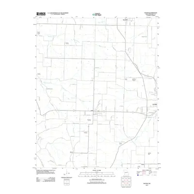
2012 Map of Exeter
USGS Topo · Published 2012About this map
Exeter and the surrounding Barry County countryside are defined by a network of rural roads and family cemeteries in this 2012 study. The landscape is dotted with ancestral landmarks like True Love Cemetery, Crow Pond Cemetery, and Vineyard Cemetery, which anchor the small farming communities of Wayne, Pasley, and Butterfield. To the east, the edge of Cassville is marked by the Cassville Municipal Airport and the riparian corridor of Flat Creek. The terrain reveals a mix of limestone geology and spring-fed waters, including Talbert Spring and McMurtry Spring, alongside the unusual Buffalo Bog in the southeast. While modern Forest Road designations trace the hills, the placement of the House School and numerous small burial grounds reflects a settlement pattern that has persisted for generations in the Missouri Ozarks.
Find a feature on this map
107 named features on this map. Tap any name to fly to it.
Don’t see what you’re looking for? This feature index may not catch every label — zoom into the map to look around manually.
Map Details
Editions of this 2012 Exeter Map
This is the sole edition of this map. No revisions or reprints were ever made.
Other maps of this area

1937 · Cassville
USGS Topo · 1:48,000

1941 · Rocky Comfort
USGS Topo · 1:62,500

1943 · Ritchey
USGS Topo · 1:62,500

1943 · Monett
USGS Topo · 1:62,500

1943 · Rocky Comfort
USGS Topo · 1:62,500

1944 · Cassville
USGS Topo · 1:62,500

1945 · Harrison
USGS Topo · 1:250,000

1949 · Harrison
USGS Topo · 1:250,000

1954 · Harrison
USGS Topo · 1:250,000

1954 · Tulsa
USGS Topo · 1:250,000