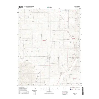
2015 Map of Exeter
USGS Topo · Published 2015About this map
Exeter serves as the central hub of this Missouri landscape, situated where the terrain transitions toward the watercourses of Flat Creek and Shoal Creek. The region is defined by a series of named hollows, including Candy Hollow, Gunter Hollow, and Corder Hollow, which carve through the land between agricultural farm roads. A high density of rural burial grounds, such as Maplewood Cemetery, Vineyard Cemetery, and True Love Cemetery, provides a wealth of points for genealogical study across the townships.
Find a feature on this map
82 named features on this map. Tap any name to fly to it.
Don’t see what you’re looking for? This feature index may not catch every label — zoom into the map to look around manually.
Map Details
Editions of this 2015 Exeter Map
This is the sole edition of this map. No revisions or reprints were ever made.
Other maps of this area
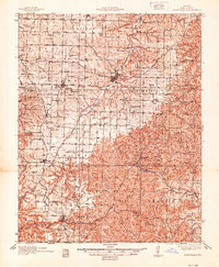
1937 · Cassville
USGS Topo · 1:48,000
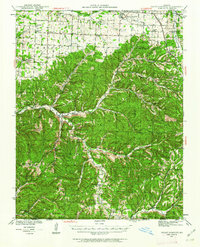
1941 · Rocky Comfort
USGS Topo · 1:62,500
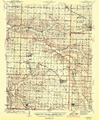
1943 · Ritchey
USGS Topo · 1:62,500
1943 · Monett
USGS Topo · 1:62,500
1943 · Rocky Comfort
USGS Topo · 1:62,500
1944 · Cassville
USGS Topo · 1:62,500

1945 · Harrison
USGS Topo · 1:250,000

1949 · Harrison
USGS Topo · 1:250,000
1954 · Harrison
USGS Topo · 1:250,000

1954 · Tulsa
USGS Topo · 1:250,000