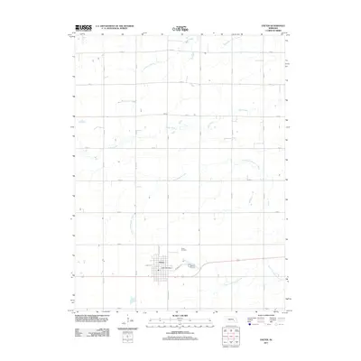
2011 Map of Exeter
USGS Topo · Published 2011About this map
The village of Exeter serves as the central hub for this agricultural portion of Fillmore County. The local street grid, including N Depot St and Tecumseh St, reflects the community's development around the Exeter Post Office. To the north, the Exeter Cemetery overlooks a landscape defined by an orderly section-line road system, including routes such as Road 1 and Road B.
Find a feature on this map
30 named features on this map. Tap any name to fly to it.
Don’t see what you’re looking for? This feature index may not catch every label — zoom into the map to look around manually.
Map Details
Editions of this 2011 Exeter Map
This is the sole edition of this map. No revisions or reprints were ever made.
Other maps of this area

1898 · York
USGS Topo · 1:125,000

1899 · York
USGS Topo · 1:125,000

1934 · Utica
USGS Topo · 1:62,500

1937 · Utica
USGS Topo · 1:62,500

1955 · Lincoln
USGS Topo · 1:250,000

1957 · Lincoln
USGS Topo · 1:250,000

1958 · Lincoln
USGS Topo · 1:250,000
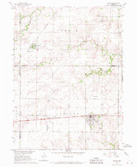
1966 · Friend
USGS Topo · 1:24,000
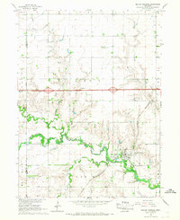
1966 · Beaver Crossing
USGS Topo · 1:24,000
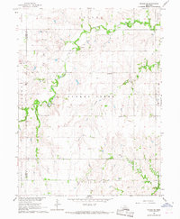
1966 · Friend SE
USGS Topo · 1:24,000