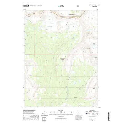
2020 Map of Explorer Peak
USGS Topo · Published 2020About this map
High-altitude basins and remote alpine lakes define this 2020 landscape where the Wasatch National Forest meets the Ashley National Forest. The terrain is anchored by massive geological features such as Explorer Peak and Brown Duck Mtn, with the boundary between Summit and Duchesne counties running through the northern sector. A complex network of water bodies, including Sea Lion Lake, Francis Lake, and the cluster of Rock Lakes, feeds into various branches of Rock Creek.
Find a feature on this map
51 named features on this map. Tap any name to fly to it.
Don’t see what you’re looking for? This feature index may not catch every label — zoom into the map to look around manually.
Map Details
Editions of this 2020 Explorer Peak Map
This is the sole edition of this map. No revisions or reprints were ever made.
Other maps of this area

1885 · Uinta
USGS Topo · 1:250,000

1901 · Hayden Peak
USGS Topo · 1:125,000

1903 · Hayden Peak
USGS Topo · 1:125,000

1954 · Salt Lake City
USGS Topo · 1:250,000

1958 · Salt Lake City
USGS Topo · 1:250,000

1960 · Salt Lake City
USGS Topo · 1:250,000
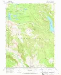
1967 · Kidney Lake
USGS Topo · 1:24,000

1967 · Explorer Peak
USGS Topo · 1:24,000
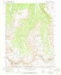
1967 · Mount Lovenia
USGS Topo · 1:24,000
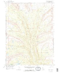
1967 · Oweep Creek
USGS Topo · 1:24,000