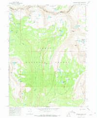
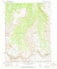
1967 Map of Explorer Peak
USGS Topo · Published 1968About this map
High-altitude wilderness and the transition between two massive public domains define this 1967 survey of the High Uintas. The Indian Treaty Boundary cuts across the northern ridges, marking a significant historical line of land division north of Rock Creek. Steep glaciated terrain is punctuated by dozens of alpine water bodies, from the whimsical Jack and Jill Lakes and Sea Lion Lake to the more utilitarian Reconnaissance Lake.
Find a feature on this map
46 named features on this map. Tap any name to fly to it.
Don’t see what you’re looking for? This feature index may not catch every label — zoom into the map to look around manually.
Map Details
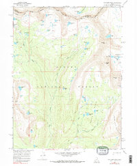
Editions of this 1967 Explorer Peak Map
3 editions found

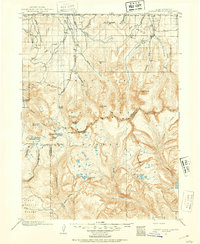
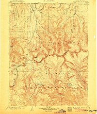
Other maps of this area

1885 · Uinta
USGS Topo · 1:250,000
1901 · Hayden Peak
USGS Topo · 1:125,000
1903 · Hayden Peak
USGS Topo · 1:125,000

1954 · Salt Lake City
USGS Topo · 1:250,000

1958 · Salt Lake City
USGS Topo · 1:250,000

1960 · Salt Lake City
USGS Topo · 1:250,000

1967 · Kidney Lake
USGS Topo · 1:24,000
1967 · Mount Lovenia
USGS Topo · 1:24,000

1967 · Oweep Creek
USGS Topo · 1:24,000
1967 · Tworoose Pass
USGS Topo · 1:24,000