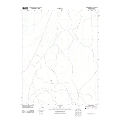
2011 Map of Explosive Rock
USGS Topo · Published 2011About this map
White Mesa and the expansive Red Mesa dominate this northern Arizona landscape, where high-desert plateaus are carved by seasonal drainages like Fall Creek. The terrain is defined by its geological features, including the prominent outcrop of White Rock and the catchment at Red Mesa Reservoir. Transportation through this Coconino County region relies on a network of unpaved routes, notably Indian Rte 6210 and numerous service roads that navigate the complex topography. The map illustrates a high-elevation environment where land management and natural landmarks dictate the human presence, primarily through established corridors like Route 89 which skirts the western edge of the mesas.
Find a feature on this map
8 named features on this map. Tap any name to fly to it.
Don’t see what you’re looking for? This feature index may not catch every label — zoom into the map to look around manually.
Map Details
Editions of this 2011 Explosive Rock Map
This is the sole edition of this map. No revisions or reprints were ever made.
Other maps of this area

1886 · Echo Cliffs
USGS Topo · 1:250,000

1891 · Echo Cliffs
USGS Topo · 1:250,000

1954 · Lees Ferry SE
USGS Topo · 1:24,000

1954 · Lees Ferry SW
USGS Topo · 1:24,000

1954 · Tanner Wash
USGS Topo · 1:62,500

1954 · Leche-E Rock
USGS Topo · 1:62,500

1954 · Lees Ferry
USGS Topo · 1:62,500

1955 · Tanner Wash NE
USGS Topo · 1:24,000

1956 · Marble Canyon
USGS Topo · 1:250,000

1959 · Marble Canyon
USGS Topo · 1:250,000