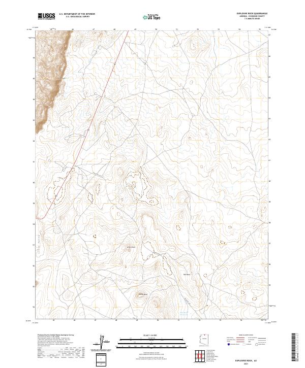
2021 Map of Explosive Rock
USGS Topo · Published 2021About this map
Echo Cliffs dominate the western edge of this Coconino County landscape, where the high desert terrain transitions into the broad expanse of Little Valley. This 2021 survey by the U.S. Geological Survey captures a region defined by its geological formations and sparse water resources, centered around the prominent mesas that overlook the arid plains. The drainage of Fall Cr cuts through the northern sections, while the southern reaches are marked by the presence of White Mesa and Red Mesa, providing critical topographical landmarks in an area otherwise characterized by vast, open space. The infrastructure here is minimal, primarily consisting of Indian Rte 6210, which winds past White Rock toward the Red Mesa Reservoir. This map is particularly valuable for understanding the modern distribution of resources and the persistent geography of the Arizona high desert before any significant 21st-century development.
Find a feature on this map
14 named features on this map. Tap any name to fly to it.
Don’t see what you’re looking for? This feature index may not catch every label — zoom into the map to look around manually.
Map Details
Editions of this 2021 Explosive Rock Map
This is the sole edition of this map. No revisions or reprints were ever made.
Other maps of this area

1886 · Echo Cliffs
USGS Topo · 1:250,000

1891 · Echo Cliffs
USGS Topo · 1:250,000

1954 · Lees Ferry SE
USGS Topo · 1:24,000

1954 · Lees Ferry SW
USGS Topo · 1:24,000

1954 · Tanner Wash
USGS Topo · 1:62,500

1954 · Leche-E Rock
USGS Topo · 1:62,500

1954 · Lees Ferry
USGS Topo · 1:62,500

1955 · Tanner Wash NE
USGS Topo · 1:24,000

1956 · Marble Canyon
USGS Topo · 1:250,000

1959 · Marble Canyon
USGS Topo · 1:250,000