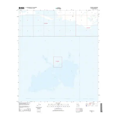
2015 Map of F-R Ranch
USGS Topo · Published 2015About this map
Five Lakes dominates this coastal landscape in Cameron Parish, illustrating the complex hydrology of southwestern Louisiana's marshlands. The area is defined by a dense network of water management features, including the Starks-North-Canal and the Starks Central Canal, which reflect the region's historical reliance on man-made waterways for drainage and access. The namesake F-R Ranch stands as a notable point of human activity within this environment, situated north of the expansive marsh. Other prominent water bodies like Vincent Lake and Dore Lake punctuate the terrain, while the Beach Canal and Back Ridge Canal indicate the structured approach taken to navigate and utilize these wetlands. This survey provides a clear view of the land-water interface and the infrastructure required to maintain coastal ranching and transit in the early 21st century.
Find a feature on this map
12 named features on this map. Tap any name to fly to it.
Don’t see what you’re looking for? This feature index may not catch every label — zoom into the map to look around manually.
Map Details
Editions of this 2015 F-R Ranch Map
This is the sole edition of this map. No revisions or reprints were ever made.
Other maps of this area

1932 · Orange
USGS Topo · 1:62,500

1934 · Johnsons Bayou
USGS Topo · 1:24,000

1934 · Holly Beach
USGS Topo · 1:24,000

1934 · Peveto Beach
USGS Topo · 1:24,000

1934 · Greens Bayou
USGS Topo · 1:24,000

1934 · Browns Lake
USGS Topo · 1:24,000

1934 · Five Lakes
USGS Topo · 1:24,000

1935 · Peveto Beach
USGS Topo · 1:31,680

1935 · Five Lakes
USGS Topo · 1:31,680

1935 · Holly Beach
USGS Topo · 1:31,680