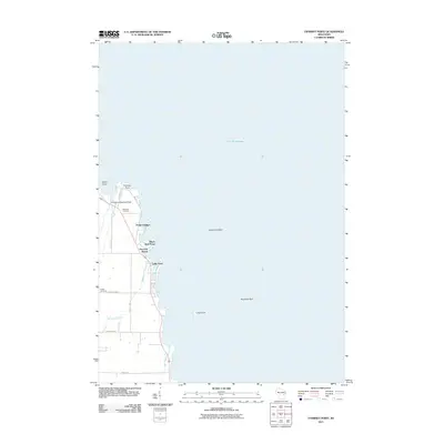
2011 Map of Fahrney Point
USGS Topo · Published 2011About this map
Lake Winnebago dominates the landscape of this 2011 survey, defining the eastern boundary of the Black Wolf area. The shoreline is punctuated by a series of geographic landmarks, including Fahrney Point, Point Comfort, and Black Wolf Point, which overlook the submerged hazards of Long Point Reef and Abraham Reef. These features highlight the importance of the lake to the local identity and navigation, further emphasized by the presence of the Air Harbor Seaplane Base near the northern shore.
Find a feature on this map
21 named features on this map. Tap any name to fly to it.
Don’t see what you’re looking for? This feature index may not catch every label — zoom into the map to look around manually.
Map Details
Editions of this 2011 Fahrney Point Map
This is the sole edition of this map. No revisions or reprints were ever made.
Other maps of this area

1910 · Fond du Lac
USGS Topo · 1:62,500

1911 · Neenah
USGS Topo · 1:62,500

1955 · Neenah
USGS Topo · 1:62,500

1955 · Fond Du Lac
USGS Topo · 1:62,500

1955 · Fond Du Lac
USGS Topo · 1:24,000

1955 · Green Bay
USGS Topo · 1:250,000

1956 · Rosendale
USGS Topo · 1:62,500

1957 · Madison
USGS Topo · 1:250,000

1960 · Madison
USGS Topo · 1:250,000

1961 · Oshkosh
USGS Topo · 1:24,000