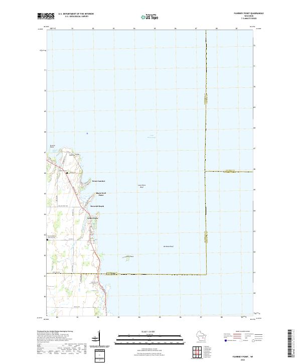
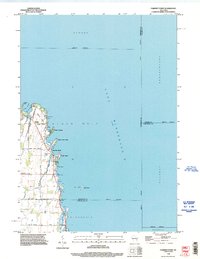
2022 Map of Fahrney Point
USGS Topo · Published 2022About this map
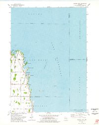
The western shoreline of Lake Winnebago in Winnebago County is defined by a series of distinct peninsulas and landings, including Fahrney Point, Point Comfort, and Black Wolf Point. This modern survey illustrates the residential and recreational development along the water, where Lakeshore Dr and Fond Du Lac Rd follow the natural curve of the coast. The landscape is dotted with long-standing community markers such as Oaklawn Cem and the Zion Evangelical Lutheran Cem, serving as focal points for local genealogical research.
Find a feature on this map
36 named features on this map. Tap any name to fly to it.
Don’t see what you’re looking for? This feature index may not catch every label — zoom into the map to look around manually.
Map Details
Editions of this 2022 Fahrney Point Map
This is the sole edition of this map. No revisions or reprints were ever made.
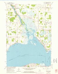
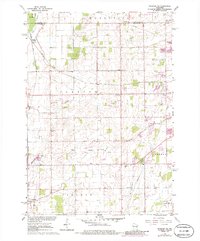
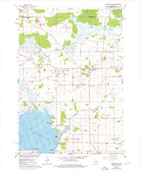
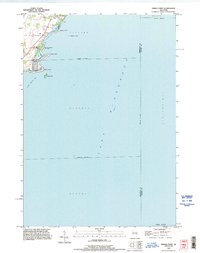
Historical Maps of Point Comfort Through Time
17 maps found
1961 Lake Poygan
Winnebago County, WI
1961 Oshkosh NE
Winnebago County, WI
1961 Oshkosh NW
Winnebago County, WI
1974 Fahrney Point
Winnebago County, WI
1974 Indian Point
Winnebago County, WI
1980 Pickett
Winnebago County, WI
1980 Rush Lake
Winnebago County, WI
1992 Fahrney Point
Winnebago County, WI
1992 Indian Point
Winnebago County, WI
1992 Oshkosh NE
Winnebago County, WI
2022 Fahrney Point
Winnebago County, WI
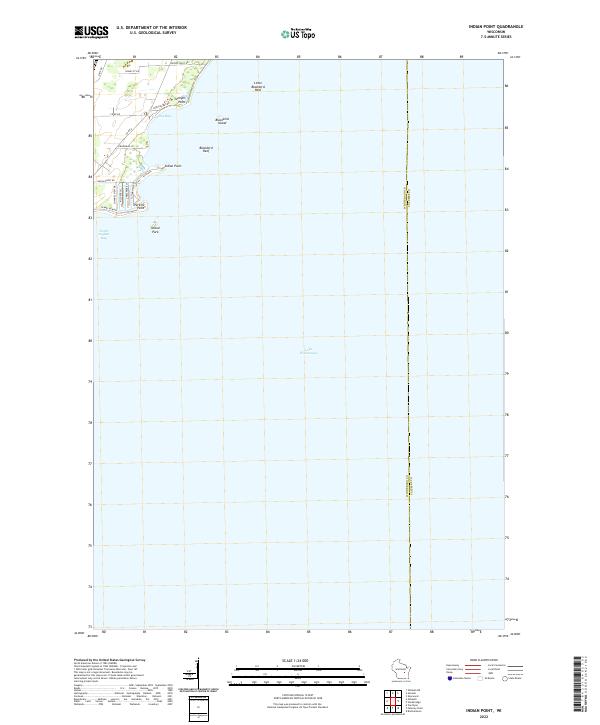
2022 Indian Point
Winnebago County, WI
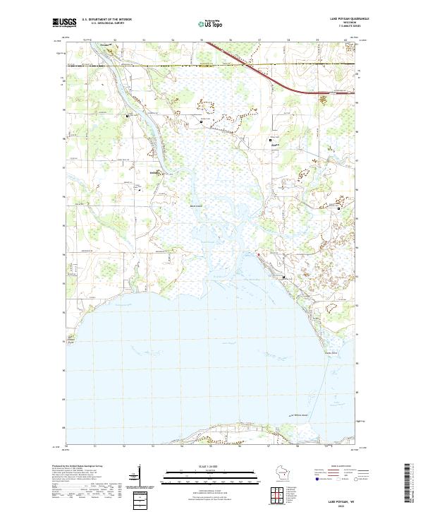
2022 Lake Poygan
Winnebago County, WI
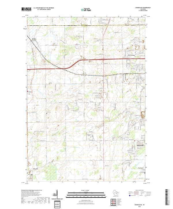
2022 Oshkosh NE
Winnebago County, WI
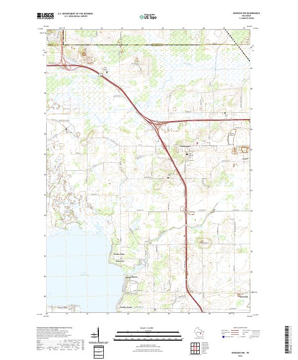
2022 Oshkosh NW
Winnebago County, WI
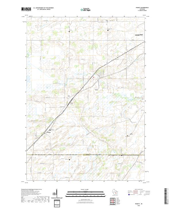
2022 Pickett
Winnebago County, WI
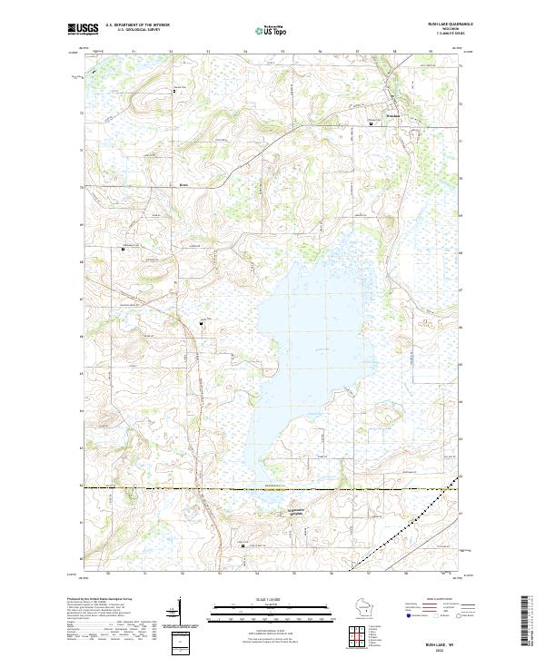
2022 Rush Lake
Winnebago County, WI