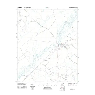
2022 Map of Fair Bluff
USGS Topo · Published 2022About this map
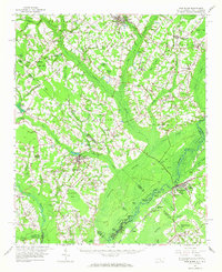
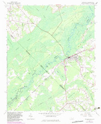
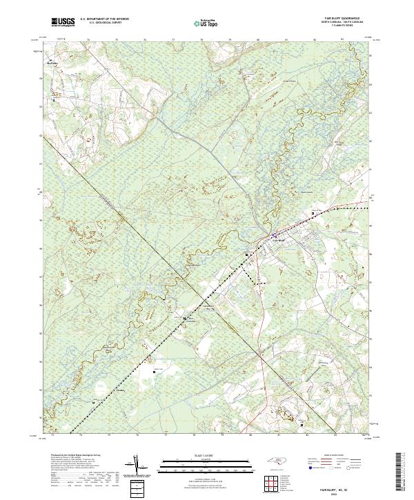
The Lumber River and its intricate network of wetlands define the borderlands of North and South Carolina, where the town of Fair Bluff serves as a focal point for the region's river-driven geography. This landscape is characterized by a high density of named bays and swamps, including Ashpole Swamp, Bear Swamp, and Gapway Swamp, which together illustrate the unique hydraulic patterns of the Carolina coastal plain. The settlement of Marietta sits near the northern edge of this complex water system, connected to the larger community of Fair Bluff by a web of rural routes like Fair Bluff Rd.
Find a feature on this map
94 named features on this map. Tap any name to fly to it.
Don’t see what you’re looking for? This feature index may not catch every label — zoom into the map to look around manually.
Map Details
Editions of this 2022 Fair Bluff Map
This is the sole edition of this map. No revisions or reprints were ever made.
Historical Maps of Fair Bluff Through Time
8 maps found