
1983 Map of Fair Play
USGS Topo · Published 1983About this map
The community of Fair Play serves as a central point in this early 1980s landscape on the border of Rusk and Panola Counties. The northwestern portion of the map is dominated by the expansive Martin Lake, which sits against a backdrop of undulating terrain and dense stream networks. To the northeast, the topography shifts toward the distinct elevated region known as The Sand Hills, a significant geographical landmark in this part of East Texas.
Find a feature on this map
18 named features on this map. Tap any name to fly to it.
Don’t see what you’re looking for? This feature index may not catch every label — zoom into the map to look around manually.
Map Details
Editions of this 1983 Fair Play Map
This is the sole edition of this map. No revisions or reprints were ever made.
Other maps of this area

1956 · Tyler
USGS Topo · 1:250,000

1958 · Darco
USGS Topo · 1:62,500

1958 · Carthage
USGS Topo · 1:62,500

1958 · Tatum
USGS Topo · 1:62,500

1960 · Minden
USGS Topo · 1:62,500

1983 · Tatum
USGS Topo · 1:24,000

1983 · Harris Chapel
USGS Topo · 1:24,000
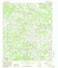
1983 · Church Hill
USGS Topo · 1:24,000

1983 · Long Branch
USGS Topo · 1:24,000
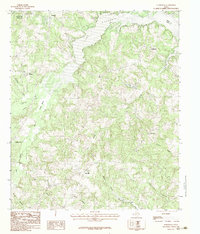
1983 · Elderville
USGS Topo · 1:24,000