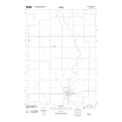
2010 Map of Fairbank
USGS Topo · Published 2010About this map
Fairbank anchors the southeastern corner of this Iowa landscape, where the Little Wapsipinicon River winds southward through a grid of agricultural sections. The river's corridor is the primary geographical deviation from the rectilinear road network, supporting the Wapsie Ridge Golf Course and providing a natural backdrop for the town's local institutions, including the Fairbank Post Office and several burial grounds like Immaculate Conception Cemetery.
Find a feature on this map
44 named features on this map. Tap any name to fly to it.
Don’t see what you’re looking for? This feature index may not catch every label — zoom into the map to look around manually.
Map Details
Editions of this 2010 Fairbank Map
This is the sole edition of this map. No revisions or reprints were ever made.
Other maps of this area

1901 · Oelwein
USGS Topo · 1:125,000

1954 · Waterloo
USGS Topo · 1:250,000

1955 · Waterloo
USGS Topo · 1:250,000

1959 · Dubuque
USGS Topo · 1:250,000

1961 · Dubuque
USGS Topo · 1:250,000

1962 · Dubuque
USGS Topo · 1:250,000

1971 · Readlyn
USGS Topo · 1:24,000

1971 · Sumner
USGS Topo · 1:24,000

1971 · Sumner SW
USGS Topo · 1:24,000

1971 · Dunkerton
USGS Topo · 1:24,000