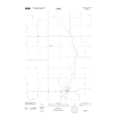
2013 Map of Fairbank
USGS Topo · Published 2013About this map
Fairbank serves as the primary settlement on this agricultural landscape, situated along the meandering path of the Little Wapsipinicon River. The town's grid is detailed with street names like Front ST, Main ST, and Walnut ST, while the Wapsie Ridge Golf Course occupies the eastern bank of the river. To the northwest, the small community of Oran is centered at the intersection of W ST and Maple ST, reflecting the era's rural residential patterns. The surrounding countryside is defined by a rigorous section-line road network, including thoroughfares such as Unicorn RD, Yukon Ave, and Whitetail Ave. These roads connect isolated points like Miner in the north and bridge smaller waterways such as Buck Cr. The map illustrates a modern rural Iowa landscape where traditional farming reaches meet recreational and small-town residential hubs.
Find a feature on this map
60 named features on this map. Tap any name to fly to it.
Don’t see what you’re looking for? This feature index may not catch every label — zoom into the map to look around manually.
Map Details
Editions of this 2013 Fairbank Map
This is the sole edition of this map. No revisions or reprints were ever made.
Other maps of this area

1901 · Oelwein
USGS Topo · 1:125,000

1954 · Waterloo
USGS Topo · 1:250,000

1955 · Waterloo
USGS Topo · 1:250,000

1959 · Dubuque
USGS Topo · 1:250,000

1961 · Dubuque
USGS Topo · 1:250,000

1962 · Dubuque
USGS Topo · 1:250,000

1971 · Readlyn
USGS Topo · 1:24,000

1971 · Sumner
USGS Topo · 1:24,000

1971 · Sumner SW
USGS Topo · 1:24,000

1971 · Dunkerton
USGS Topo · 1:24,000