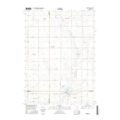
2015 Map of Fairbank
USGS Topo · Published 2015About this map
Fairbank sits at the convergence of four Iowa counties in this detailed study of the northeastern Iowa prairie. The landscape is defined by the winding course of the Little Wapsipinicon River, which meanders south through the eastern half of the map, and the smaller Buck Cr drainage to the west. This area is a patchwork of agricultural sections, historically significant for its multi-county borders where Bremer, Fayette, Black Hawk, and Buchanan counties meet. The small settlement of Oran serves as a secondary focal point in the northern portion of the quadrangle. Genealogists will find the locations of three local burial grounds: Fairbank Cem, Immaculate Conception Cem, and Saint Peter Cem. The map illustrates a dense network of rural infrastructure, from county routes like Co Hwy V62 and Co Hwy C50 to numerous named local roads that have shaped property boundaries for generations.
Find a feature on this map
65 named features on this map. Tap any name to fly to it.
Don’t see what you’re looking for? This feature index may not catch every label — zoom into the map to look around manually.
Map Details
Editions of this 2015 Fairbank Map
This is the sole edition of this map. No revisions or reprints were ever made.
Other maps of this area

1901 · Oelwein
USGS Topo · 1:125,000

1954 · Waterloo
USGS Topo · 1:250,000

1955 · Waterloo
USGS Topo · 1:250,000

1959 · Dubuque
USGS Topo · 1:250,000

1961 · Dubuque
USGS Topo · 1:250,000

1962 · Dubuque
USGS Topo · 1:250,000

1971 · Readlyn
USGS Topo · 1:24,000

1971 · Sumner
USGS Topo · 1:24,000

1971 · Sumner SW
USGS Topo · 1:24,000

1971 · Dunkerton
USGS Topo · 1:24,000