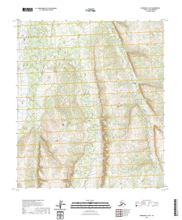
2024 Map of Fairbanks A-6 SW
USGS Topo · Published 2024About this map
Sushana River and Toklat River define this interior Alaskan wilderness within the Denali region, where the braided channels of glacial rivers shift across a broad, low-lying basin. This survey by the U.S. Geological Survey details a landscape shaped primarily by hydrology rather than human settlement, as no roads or permanent structures are indicated across the terrain. The vast drainage network is bounded by the survey lines of t9s r12w, t9s r11w, t10s r12w, and t10s r11w, marking the administrative divisions of this remote territory. The lack of infrastructure highlights the wild character of the area, making this map an essential reference for understanding the natural watercourses and topography of the central Alaskan interior in its modern state.
Find a feature on this map
6 named features on this map. Tap any name to fly to it.
Don’t see what you’re looking for? This feature index may not catch every label — zoom into the map to look around manually.
Map Details
Editions of this 2024 Fairbanks A-6 SW Map
This is the sole edition of this map. No revisions or reprints were ever made.
Other maps of this area

1948 · Kantishna River
USGS Topo · 1:250,000

1950 · Fairbanks
USGS Topo · 1:250,000

1951 · Healy
USGS Topo · 1:250,000

1951 · Kantishna River
USGS Topo · 1:250,000

1951 · Fairbanks
USGS Topo · 1:250,000

1951 · Mount McKinley D-1
USGS Topo · 1:63,360

1951 · Healy D-6
USGS Topo · 1:63,360

1952 · Mount McKinley
USGS Topo · 1:250,000

1952 · Fairbanks A-6
USGS Topo · 1:63,360

1952 · Kantishna River A-1
USGS Topo · 1:63,360