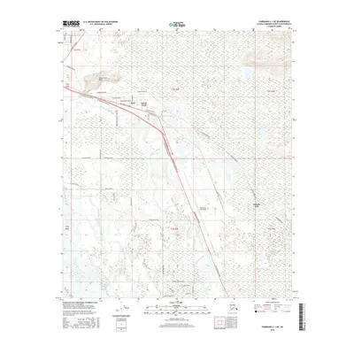
2016 Map of Fairbanks C-1 NE
USGS Topo · Published 2016About this map
The Tanana River and its intricate network of side channels dominate this landscape south of Fairbanks in the mid-2010s. The low-lying terrain is defined by the winding paths of Piledriver Slough, Garrison Slough, and Twentythree Mile Slough, which weave through the floodplain near the community of Moose Creek. Rising above these wetlands, the Moose Creek Bluff provides a distinct topographic landmark near the northern edge of the survey area.
Find a feature on this map
48 named features on this map. Tap any name to fly to it.
Don’t see what you’re looking for? This feature index may not catch every label — zoom into the map to look around manually.
Map Details
Editions of this 2016 Fairbanks C-1 NE Map
This is the sole edition of this map. No revisions or reprints were ever made.
Other maps of this area

1949 · Fairbanks D-1
USGS Topo · 1:62,500

1949 · Fairbanks C-1
USGS Topo · 1:63,360

1949 · Big Delta C-6
USGS Topo · 1:63,360

1950 · Fairbanks
USGS Topo · 1:250,000

1950 · Big Delta
USGS Topo · 1:250,000

1950 · Big Delta D-6
USGS Topo · 1:63,360

1950 · Fairbanks C-1
USGS Topo · 1:63,360

1951 · Big Delta
USGS Topo · 1:250,000

1951 · Fairbanks
USGS Topo · 1:250,000

1952 · Big Delta C-6
USGS Topo · 1:63,360