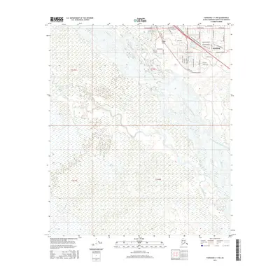
2016 Map of Fairbanks C-1 NW
USGS Topo · Published 2016About this map
North Pole and the nearby Badger area are central to this 2016 survey of the Tanana Valley. The landscape is defined by the braided channels of the Tanana River, which give way to a complex network of waterways including Chena Slough, Piledriver Slough, and Salchaket Slough. These slow-moving backwaters and sloughs create a unique wetland environment that dictates the placement of local infrastructure.
Find a feature on this map
43 named features on this map. Tap any name to fly to it.
Don’t see what you’re looking for? This feature index may not catch every label — zoom into the map to look around manually.
Map Details
Editions of this 2016 Fairbanks C-1 NW Map
This is the sole edition of this map. No revisions or reprints were ever made.
Other maps of this area

1949 · Fairbanks D-1
USGS Topo · 1:62,500

1949 · Fairbanks D-2
USGS Topo · 1:62,500

1949 · Fairbanks C-1
USGS Topo · 1:63,360

1949 · Fairbanks C-2
USGS Topo · 1:63,360

1950 · Fairbanks
USGS Topo · 1:250,000

1950 · Fairbanks C-1
USGS Topo · 1:63,360

1951 · Fairbanks
USGS Topo · 1:250,000

1952 · Fairbanks C-2
USGS Topo · 1:63,360

1952 · Fairbanks D-2
USGS Topo · 1:63,360
1952 · Fairbanks C-1
USGS Topo · 1:63,360