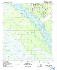
1992 Map of Fairbanks C-1 NW
USGS Topo · Published 1992About this map
The Tanana River dominates this landscape south of Fairbanks, weaving through a complex network of wetlands and seasonal waterways including Salchaket Slough and Piledriver Slough. In the early 1990s, the community of North Pole stands as a focal point of infrastructure, where the Richardson Highway and Old Richardson Highway parallel the Trans-Alaska Pipeline. The area reflects a heavy industrial and strategic footprint, featuring a Refinery and large portions of the Fort Wainwright Military Reservation and Dyke Range Military Reservation.
Find a feature on this map
28 named features on this map. Tap any name to fly to it.
Don’t see what you’re looking for? This feature index may not catch every label — zoom into the map to look around manually.
Map Details
Editions of this 1992 Fairbanks C-1 NW Map
This is the sole edition of this map. No revisions or reprints were ever made.
Other maps of this area

1949 · Fairbanks D-1
USGS Topo · 1:62,500

1949 · Fairbanks D-2
USGS Topo · 1:62,500

1949 · Fairbanks C-1
USGS Topo · 1:63,360

1949 · Fairbanks C-2
USGS Topo · 1:63,360

1950 · Fairbanks
USGS Topo · 1:250,000

1950 · Fairbanks C-1
USGS Topo · 1:63,360

1951 · Fairbanks
USGS Topo · 1:250,000

1952 · Fairbanks C-2
USGS Topo · 1:63,360

1952 · Fairbanks D-2
USGS Topo · 1:63,360
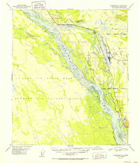
1952 · Fairbanks C-1
USGS Topo · 1:63,360