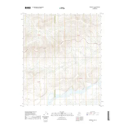
2021 Map of Fairbanks C-4 NE
USGS Topo · Published 2021About this map
The Tanana River flows along the southern edge of this Interior Alaska landscape, marking a significant hydrological boundary within the Fairbanks North Star Borough. The terrain north of the river is characterized by numerous small drainage systems, most notably Little Goldstream Cr and Bonanza Cr, which carve through the elevations of the Tanana Valley. The Parks Highway serves as the primary transportation artery here, winding through the northern sections of t2s r6w and t2s r5w as it connects the region. This 2021 survey illustrates the modern alignment of the highway against the natural wetlands and watercourses that define the corridor between the river and the northern uplands.
Find a feature on this map
9 named features on this map. Tap any name to fly to it.
Don’t see what you’re looking for? This feature index may not catch every label — zoom into the map to look around manually.
Map Details
Editions of this 2021 Fairbanks C-4 NE Map
This is the sole edition of this map. No revisions or reprints were ever made.
Other maps of this area

1949 · Fairbanks D-3
USGS Topo · 1:63,360

1949 · Fairbanks D-4
USGS Topo · 1:63,360

1950 · Fairbanks
USGS Topo · 1:250,000

1950 · Fairbanks C-3
USGS Topo · 1:63,360

1950 · Fairbanks C-4
USGS Topo · 1:63,360

1950 · Fairbanks D-3
USGS Topo · 1:63,360

1951 · Fairbanks
USGS Topo · 1:250,000

1952 · Fairbanks C-4
USGS Topo · 1:63,360

1952 · Fairbanks D-3
USGS Topo · 1:63,360

1952 · Fairbanks D-4
USGS Topo · 1:63,360