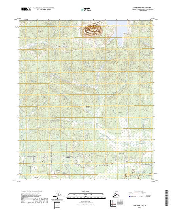
2024 Map of Fairbanks D-1 NW
USGS Topo · Published 2024About this map
Gilmore Dome rises as a prominent landmark in this Interior Alaska landscape, overlooking a complex drainage system that has historically defined the region's geography. The map documents the residential and infrastructure development spreading northeast from the Fairbanks area, specifically through Steele Creek and Badger. A significant industrial corridor is marked by the Alaska Pipeline, which traverses the southern portion of the sheet. Modern settlement patterns are visible in the dense network of local roads and lanes such as Monzulla Lane and Doe Ray Road that branch off major thoroughfares like Chena Hot Springs Road. The hydrography is characterized by numerous small waterways, including Gilmore Creek and Little Chena Prong, which carve through the terrain and dictate the alignment of historic routes like the Gilmore Trail.
Find a feature on this map
70 named features on this map. Tap any name to fly to it.
Don’t see what you’re looking for? This feature index may not catch every label — zoom into the map to look around manually.
Map Details
Editions of this 2024 Fairbanks D-1 NW Map
This is the sole edition of this map. No revisions or reprints were ever made.
Other maps of this area

1945 · Livengood
USGS Topo · 1:250,000

1949 · Fairbanks D-1
USGS Topo · 1:62,500

1949 · Fairbanks D-2
USGS Topo · 1:62,500

1950 · Fairbanks
USGS Topo · 1:250,000

1951 · Fairbanks
USGS Topo · 1:250,000

1951 · Livengood
USGS Topo · 1:250,000

1952 · Fairbanks D-2
USGS Topo · 1:63,360
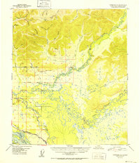
1952 · Fairbanks D-1
USGS Topo · 1:63,360

1952 · Fairbanks
USGS Topo · 1:250,000

1952 · Livengood A-2
USGS Topo · 1:63,360