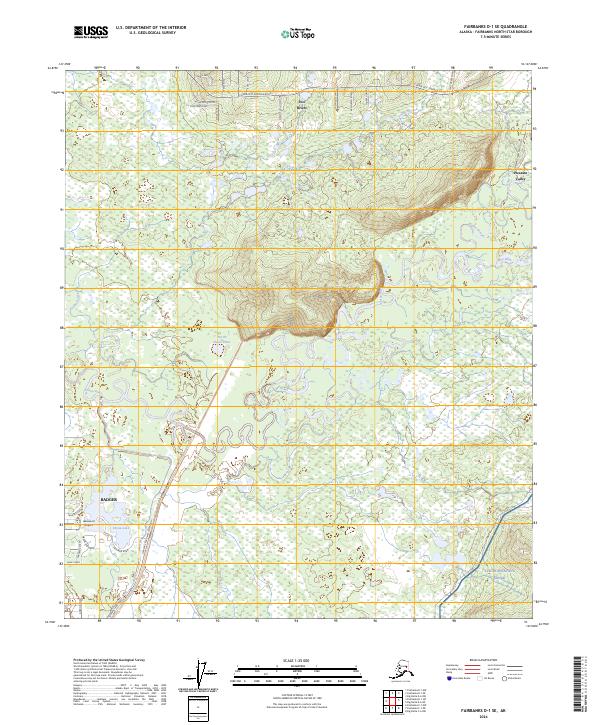
2024 Map of Fairbanks D-1 SE
USGS Topo · Published 2024About this map
Two Rivers and Pleasant Valley occupy the northern reaches of this interior landscape, where the Chena Hot Springs Road serves as the primary artery through the Tanana Valley. The terrain is defined by the winding course of the Chena River, which creates a complex network of wetlands and seasonal waterways like Mullen Slough and Potlatch Creek. To the south, the community of Badger sits near the recreational and aviation hub of Chena Lake and Lakewood Airport. A significant portion of the southeastern quadrant is dedicated to the Yukon Weapons Range, indicating the military's long-standing presence in the Fairbanks North Star Borough. The settlement pattern follows established corridors such as Laurance East Road, illustrating the ongoing development of homesteads and small communities along the river's floodplains.
Find a feature on this map
42 named features on this map. Tap any name to fly to it.
Don’t see what you’re looking for? This feature index may not catch every label — zoom into the map to look around manually.
Map Details
Editions of this 2024 Fairbanks D-1 SE Map
This is the sole edition of this map. No revisions or reprints were ever made.
Other maps of this area

1949 · Fairbanks D-1
USGS Topo · 1:62,500

1949 · Fairbanks C-1
USGS Topo · 1:63,360

1949 · Big Delta C-6
USGS Topo · 1:63,360

1950 · Fairbanks
USGS Topo · 1:250,000

1950 · Big Delta
USGS Topo · 1:250,000

1950 · Big Delta D-6
USGS Topo · 1:63,360

1950 · Fairbanks C-1
USGS Topo · 1:63,360

1951 · Big Delta
USGS Topo · 1:250,000

1951 · Fairbanks
USGS Topo · 1:250,000

1952 · Big Delta C-6
USGS Topo · 1:63,360