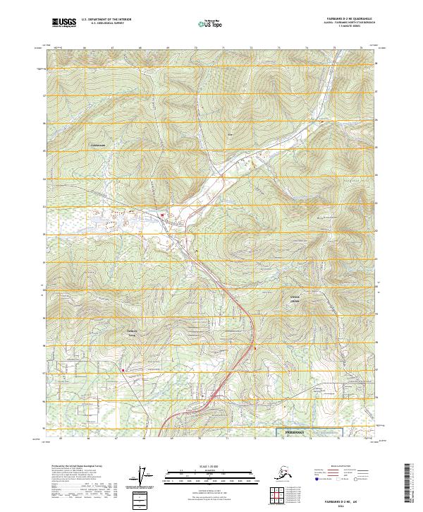
2024 Map of Fairbanks D-2 NE
USGS Topo · Published 2024About this map
Goldstream and Fox serve as the primary landmarks in this detailed survey of the interior landscape north of Fairbanks. The region is defined by a dense network of watercourses including Goldstream Creek, Gilmore Creek, and Pedro Creek, historically significant for the gold-bearing gravels of the Tanana Valley. The industrial and logistical footprint of the modern era is evident in the path of the Alaska Pipeline, which traverses the terrain alongside established corridors like Goldstream Road and Steese Expressway/Highway.
Find a feature on this map
196 named features on this map. Tap any name to fly to it.
Don’t see what you’re looking for? This feature index may not catch every label — zoom into the map to look around manually.
Map Details
Editions of this 2024 Fairbanks D-2 NE Map
This is the sole edition of this map. No revisions or reprints were ever made.
Other maps of this area

1945 · Livengood
USGS Topo · 1:250,000

1949 · Fairbanks D-1
USGS Topo · 1:62,500

1949 · Fairbanks D-2
USGS Topo · 1:62,500

1950 · Fairbanks
USGS Topo · 1:250,000

1951 · Fairbanks
USGS Topo · 1:250,000

1951 · Livengood
USGS Topo · 1:250,000

1952 · Fairbanks D-2
USGS Topo · 1:63,360
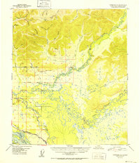
1952 · Fairbanks D-1
USGS Topo · 1:63,360

1952 · Fairbanks
USGS Topo · 1:250,000

1952 · Livengood A-2
USGS Topo · 1:63,360