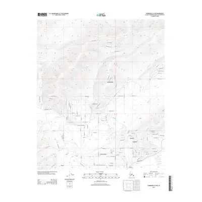
2013 Map of Fairbanks D-2 NW
USGS Topo · Published 2013About this map
College sits at the southern edge of this interior Alaskan landscape, serving as a hub near the convergence of numerous valleys and upland ridges. The terrain is defined by significant elevations like Ester Dome and a dense network of waterways including Goldstream Cr and Happy Cr. Small residential pockets and communities such as Musk Ox, Dogpatch, and Goldstream are scattered throughout the hills, connected by a winding road system that includes appropriately named routes like Resolution Rd, Determination Rd, and Destination Ave.
Find a feature on this map
124 named features on this map. Tap any name to fly to it.
Don’t see what you’re looking for? This feature index may not catch every label — zoom into the map to look around manually.
Map Details
Editions of this 2013 Fairbanks D-2 NW Map
This is the sole edition of this map. No revisions or reprints were ever made.
Other maps of this area

1945 · Livengood
USGS Topo · 1:250,000

1949 · Fairbanks D-2
USGS Topo · 1:62,500

1949 · Fairbanks D-3
USGS Topo · 1:63,360

1950 · Fairbanks
USGS Topo · 1:250,000

1950 · Fairbanks D-3
USGS Topo · 1:63,360

1951 · Fairbanks
USGS Topo · 1:250,000

1951 · Livengood
USGS Topo · 1:250,000

1952 · Fairbanks D-2
USGS Topo · 1:63,360

1952 · Fairbanks D-3
USGS Topo · 1:63,360

1952 · Fairbanks
USGS Topo · 1:250,000